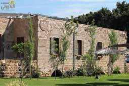
This town has the highest altitude in Batroun District averaging 1600 m. its distance from the City is 45 km. It can be reached from Batroun via Ijdabra, Bejdarfel, Kour valley, Sourat, Rachkedde, Helta, Dael, Kfarhelda, Beit Chlala, Tannourine El-Tahta and Wata Houb.
Its St-Artemius’ Church (Mar Shallita) dates back to the Crusaders’ Epoch and near it are Crusaders’ cemeteries. One can also visit the old Lady’s Church (Saydet Al-Atiqa) with its icon of the Virgin, considered to be one of the oldest icons in the east. Its parish church is the Assumption Lady’s Church (Saydet Al-Intikal) dating back to 1882. In addition, there are vestiges of Roman temples scattered between “Al-Hussein” and “Zeila” places.
The “Al-Jawz” river traverses the town. In addition, There s “Mar Sarkis” Source. In the place called “Harissa” stretches a Cedar Forest (Cedrus Libani) which is the largest in Lebanon. The Lebanese Government proclaimed it anatural reserve. In the site known as “tower Fortress” (Kila’ Al-Borj) there are rocks sculpted by nature in a variety of forms.
There is a workshop of embroidery and handicraft in the secondary school edifice.